
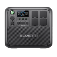


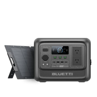

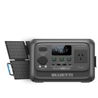


![[Phased Out] BLUETTI B80P Expansion Battery | 806Wh](http://www.bluettipower.com.au/cdn/shop/files/202310025B80P_2000-2000px_4_4caa0c1c-4dab-4272-9e9b-2b7507e5bd81.jpg?v=1713777870&width=200)
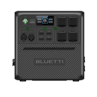
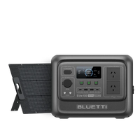
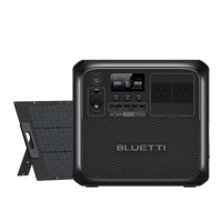
![[Phased Out] BLUETTI B210P Expansion Battery | 2,150Wh](http://www.bluettipower.com.au/cdn/shop/files/2_08cf9ef3-03a4-4489-b641-d3edb8094896.webp?v=1716016566&width=200)


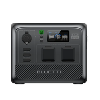
![[Phased Out] BLUETTI B80P Expansion Battery | 806Wh](http://www.bluettipower.com.au/cdn/shop/files/202310025B80P_2000-2000px_4_4caa0c1c-4dab-4272-9e9b-2b7507e5bd81.jpg?v=1713777870&width=120)
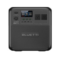
![[Phased Out] BLUETTI B210P Expansion Battery | 2,150Wh](http://www.bluettipower.com.au/cdn/shop/files/2_08cf9ef3-03a4-4489-b641-d3edb8094896.webp?v=1716016566&width=120)


When severe weather threats loom over the Coral Sea, it can quickly form dangerous tropical cyclones that can impact communities along the Queensland coast. Knowing about these weather occurrences, how they come about, and how you can keep safe is absolutely key if you live in or are planning to visit this stunning area of Australia. Here's a handy guide to understanding the basics of cyclones in QLD so that you'll know what to do if there's one heading your way.
How QLD Cyclones Occur
cyclones in QLD are formed as a cluster of thunderstorms over the warm waters of the Coral Sea. The warm ocean heat rises and starts spinning due to spin of the earth. Because of calm overhead winds, these rotating storms can strengthen. They pull in more warm, moist air, which fuels the storm and increases its rotation. As the central pressure drops, the system becomes a tropical cyclone with top sustained wind speeds.
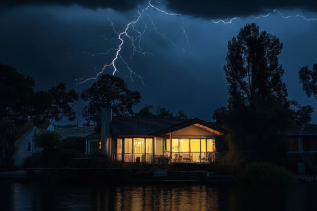
When they make landfall on the Queensland Coast, these cyclones in QLD result in destructive winds, which have potential to cause damage to infrastructure and buildings. In addition, the heavy rain which accompanies these systems commonly gives rise to widespread flooding within affected areas. "On the coast, storm surges can push the ocean onto shore.
Cyclone Categories Explained

Tropical cyclones are scaled in five categories according to their 10-minute maximum sustained wind speed near the center. This scale, used by the Australian Bureau of Meteorology (BoM), assists to determine the extent of the damage a cyclone may cause.
Category 1: Minimal Impact
These are the weakest cyclones in QLD, with sustained winds of 63 to 87 km/h (39-54 mph). Although labelled as “minimal”, a Category 1 cyclone can still create hazardous surf conditions, erode beaches and endanger ocean activities. Some areas may experience a loss of power stemming from falling trees or branches downing lines. Some rainfall is still possible from these systems with potential for localized flooding in low lying areas.
Category 2: Minor Damage
Category 2 cyclones in QLD bring stronger winds, between 88 and 124 kilometers per hour (55-77 mph). The risk is much higher. More significant sign damage is likely, and numerous trees, including large branches, will be snapped or uprooted, blocking roads. Poorly constructed signs and unanchored boats will sustain considerable damage. It increases the likelihood of roof damage to houses, including loss of tiles or corrugated iron.
Category 3: Extensive Damage
Category 3 storms are classified as major tropical cyclones, and have sustained winds from 125 to 164 km/hour (78-102 mph). They can do major structural damage to homes — from roof failure to the collapse of some walls, especially in older or less sturdy homes. Anticipate extended power outages, possibly for days or even a week.
Trees will be knocked over and power poles will come down, causing additional infrastructure damage. Torrential rainfall will be both widespread and intense, causing widespread flooding, potentially isolating towns and doing great damage to roads and bridges. On the coast, the storm surge becomes a major hazard, potentially flooding low-lying areas.
Category 4: Severe Damage
Category 4 cyclones in QLD have a sustained wind speed of 165 to 224 km/h (103-139 mph). The potential for damage is vast and widespread. Heavily built homes can experience severe damage to roof coverings, roofing material, windows and doors, and walls collapsing. There will be a lot of large, widespread and prolonged power outages. Flying material will also be a major problem. The storm surge will be dangerous, and life-threatening in the worst affected areas due to coastal inundation and beach erosion.
Category 5: Devastating Damage
At the high end of the scale, Category 5 cyclones in QLD are the most destructive, with wind speeds of over 224 km/h (139 mph). They can wreak devastation, destroying even sturdy houses. It is certain there will be wide and complete power and communication breakdown. The collective force of high winds, heavy rain and destructive storm surge can lay waste to entire communities. Widespread and extreme inundation of low coastal areas may make such places uninhabitable for many years. These cyclones are very life threatening.
Is there a category 6 or 7 cyclone?
You can give a link if you mention the gov official website.
QLD and Australia’s official scale for tropical cyclones goes up to Category 5. Though meteorologists could theorize that climate change could create even more intense storms, no official Category 6 or 7 exists.
How many Category 5 Cyclones have hit Australia?

Australia has had 48 Category 5 severe tropical cyclones. These include the devastating Cyclone Mahina in 1899 and, more recently, Cyclone Yasi in 2011 and Cyclone Marcia in 2015. This included Cyclone Ilsa in 2023 which was also a Category 5 system. It's a similar story with these extreme weather events and there's a lot of damage being done by these very intense and extreme weather events across the country.
When is cyclone season in Queensland?
The cyclone season in Queensland officially begins in November and ends in April. In QLD cycle seasons are mainly Jan- March. That is when sea temperatures are at their peak. Knowing when these peak months are is important for everyone in the area because that's when being vigilant and keeping an eye on any storm warning gold coast becomes essential.
How to Follow Cyclone Tracking in Queensland in Real Time
Staying up-to-date with cyclones in QLD is essential as they form, and luckily, there are heaps of great resources with live tracking.
Bureau of Meteorology (BOM)
The BOM website is the government’s official source for cyclone related information. It includes live tracker maps, predictions about storm surge, satellite and radar views and wind and flood maps. Visit → Queensland Warnings → Tropical Cyclone Advice for the most current updates to any storm warning in Gold Coast and Queensland.
Mobile App
Download emergency apps like ABC Emergency for push alerts and shelter details during cyclones in QLD. For more specific warnings there are QLD Alerts (Disaster Dashboard) for residents. Check out the Disaster Dashboard for local risk alerts and maps.
Radio & News
Listen to ABC Radio Gold Coast (91.7FM) for cyclone updates. Keep an eye on Gold Coast City Council’s social media for updates within the community and follow QLD Fire and Emergency Services (@QldFES on Twitter) for the latest information.
Common Areas for Cyclones in QLD

Though the entire QLD coast as a whole can potentially bear the brunt of cyclones in QLD, some parts of it are more statistically likely to be directly hit or affected. Knowing these hotspots can help you gauge your own risk, particularly if you live in or are traveling to these areas.
Far North Queensland
If you’re located in any of the cities like Cairns or Port Douglas, this region is at very high risk of cyclones in QLD. It is the closest area to the tropical cyclone formation zones in the Coral Sea, and consequently many damaging tropical cyclones happen here. On average, you could expect a cyclone to hit here every 2–3 years, so be prepared.
North Queensland
In North Queensland like the towns of Townsville, Ingham, and Innisfail, are at the very high risk of QLD cyclones. Risks you may face include life-threatening storm surge, destructive winds and widespread power loss.
Central Queensland
If you live in or plan to visit towns like Mackay, Yeppoon, or Rockhampton, your QLD cyclone risk is moderate to high. Cyclones can dissipate before reaching this part of the coast, but they can still be perilous. You need to be vigilant over the threat for coastal flooding, damaging winds and heavy rain.
Southeast Queensland
Heading further south and east into Southeast Queensland around places like Bundaberg, the Sunshine Coast, Brisbane and Gold Coast, it is more of a low to moderate risk of a cyclone zone. But you remain at risk from ex-tropical cyclones in QLD, which witnessed Cyclone Debbie in 2017 and Cyclone Alfred in 2025. The biggest risks here for you are flash flooding, landslides, and loss of power.
Cyclone Duration & Behavior
Knowing how long cyclones in QLD usually last and what they are like can help you get ready, and cope with their aftermath.
Cyclone Duration
The average cyclones in QLD can last for about two or more days, but in some cases, more than a week, when it is beyond the ocean. When a cyclone crosses the QLD coast the period of its direct impact (heavy rain and strong winds) generally lasts for several hours (possibly a day or longer if the cyclone is big and slow moving).
Cyclone Speed
QLD cyclones move at different speeds. The speed of cyclones in QLD can differ greatly, from not very fast at all (just a few kays per hour) to faster (20-30 km/h). Slow moving cyclones cars greater and more extended impact on an area (more total rainfall and long period of strong winds). Even after the eye of the cyclone has moved through, you may face dangerous conditions such as flooding for many hours.
What To Do During The Cyclones in QLD (Australia)
When you’re hit by cyclones in QLD, the most important thing is your safety. Here’s what you can do to keep yourself and your loved ones safe.
Find a Safe Spot In Your House
In high winds associated with a cyclone, you need to find the safest place in your house. Take shelter in an internal room such as hallway, bathroom or built-in wardrobe. Make sure to be well away from all windows and glass sliding doors so you won't be struck by flying debris. Shutt all inside doors to lower pressure damage within your house.
Stay Inside
You mustn’t open any doors or windows during the cyclone, no matter what. Likewise, never go outside, even when there is a momentary let-up in the wind. This could be the eye of the cyclones in QLD and conditions can rapidly deteriorate. Remain indoors until you are told it is safe to leave.
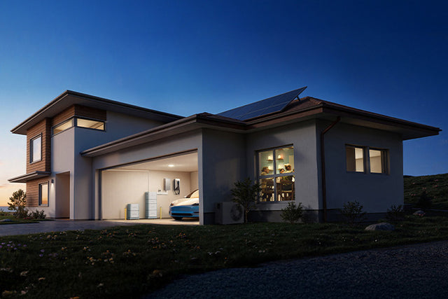
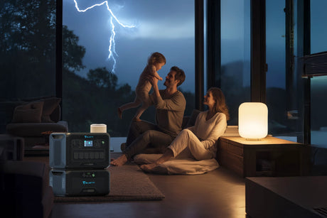
Power and Lighting
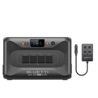
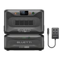
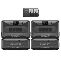
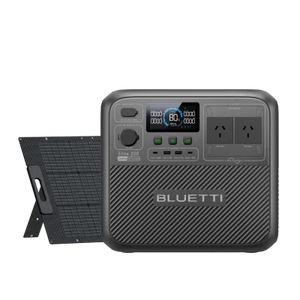
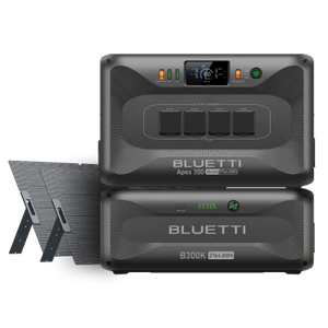
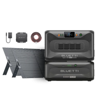
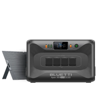
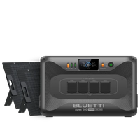
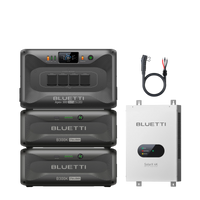
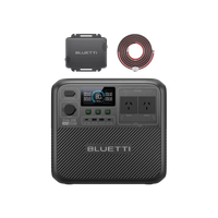
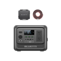
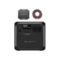
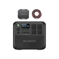
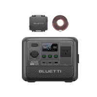
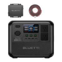
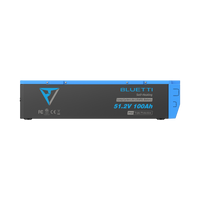
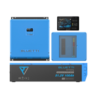
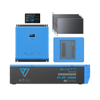
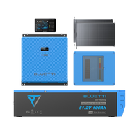
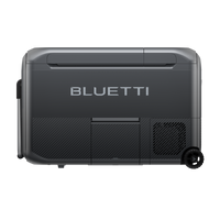
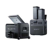
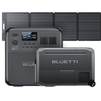
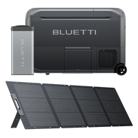
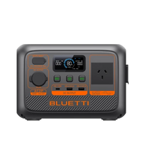
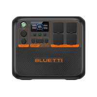
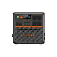
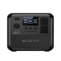
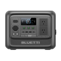
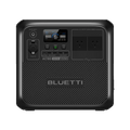
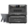
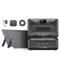
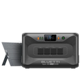
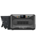
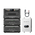
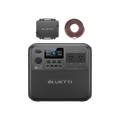
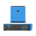
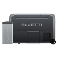
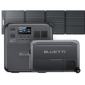
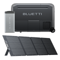
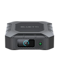
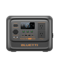
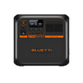
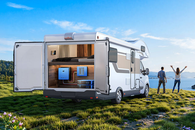
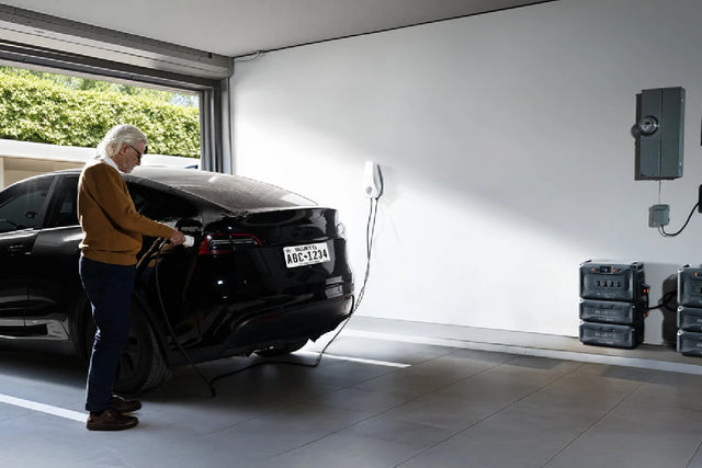
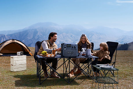
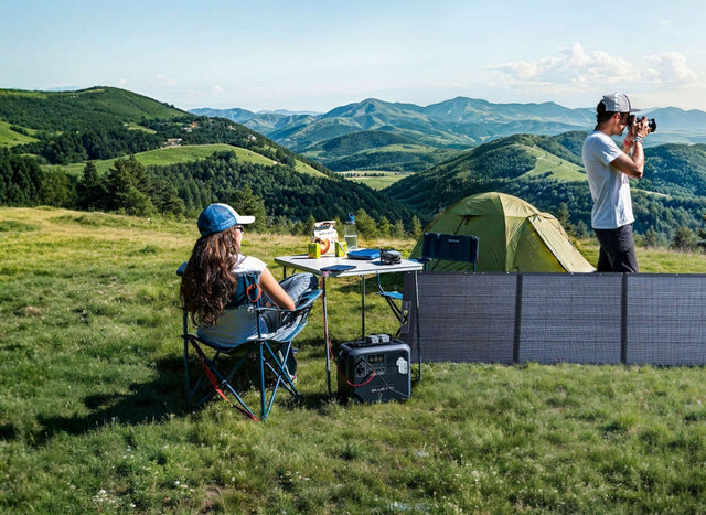
Before the storm reaches its peak, shut down appliances and turn off your gas to reduce the risks if it’s safe for you to do so. Rather than relying on one or two flashlights have a reliable power supply unit, like the BLUETTI AC300. With a long-life LiFePO4 battery (2,000 charge cycles) and multiple output ports, the PV60L can deliver safe, clean, uninterrupted power to light your home.
Communication
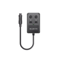
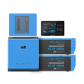
Just before and after cyclones in QLD, pay attention to your battery-powered radio, especially QLD ABC Local Radio for information and advice. If you are accessing the web on your mobile phone, save battery power by enabling battery saver mode — internet connection can be wonky during storms. To keep your devices charged, with its built-in USB-C and USB-A outputs, the BLUETTI AC300 can prove to be a life saver providing a reliable source of you keeping in touch even during prolonged periods of a power cut.
Wait for the All-Clear
You should NOT leave the house until you receive additional instructions from Optimal Air. cyclones in QLD can come back even after nothing has been happening for a while. Do not evacuate from your secure location until you are given an all clear by the authorities.
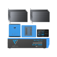
Staying Connected During The Storm - BLUETTI AC300

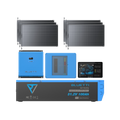
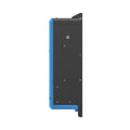
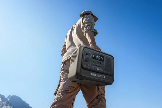
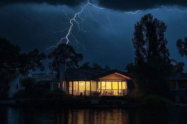
One of the biggest and most disruptive effects of cyclones in QLD is the loss of power. High winds can knock down power lines and heavy rain can damage electric infrastructure, leaving you in the dark, without refrigeration, and without critical communication. That’s why you need an emergency power source, especially the BLUETTI AC 300.
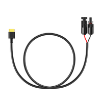
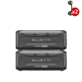
The classic BLUETTI AC300 mountains your comfort even during a fierce cyclone in QLD. You don’t have to worry, because your critical power needs are catered for. With an incredible 20ms uninterruptible power supply (UPS) system, you won’t even know the power went out, and your crucial equipment such as refrigerators and medical devices will keep working perfectly. The power supply of the BLUETTI AC300 is huge and expandable from 2.7kWh up to a mind-blowing 22.1kWh in combination with up to 4 x B300K batteries.
In terms of output, it’s got plenty of options including multiple AC outlets (yes, even RV-ready TT-30) and DC, meaning you can have everything from lights and communication devices powered up to high-amp appliances. It has 3000W continuous and 6000W peak power output. Recharging is also highly flexible and quick. Recharge quickly with AC in 1.5 hours, reach full solar input up to 2400W(max 1.8 hours with D300S), or dually input combining solar and AC for high-speed 1.5 hours! When you purchase the BLUETTI AC300, you’re investing in your security and comfort during the unpredictable seasons.
FAQs
How frequent are cyclones in Queensland?
Queensland sees an average of around 4 tropical cyclones a season with at least one crossing the coast. The northern latitudes are battered much more often than are the south.
When are cyclones in QLD typically?
The cyclone season in Queensland is from November to April, with the most activity between January and March.
Can I run a generator during a cyclone?
Yes, but take it outside and strip any nails or screws, and don’t go near the windows or carbon monoxide poisoning can happen. Or, you might prefer the safety and quiet of a battery-based system, such as the BLUETTI AC300 for indoor use.